AGRIVIAGRIVIAGRIVIAGRIVI
  • Products
    • AGRIVI 360 FMS
      • Farm Enterprise
      • Agriculture Supply Chain
      • Farm Insights
      • Farm Advisory
    • Agrivi Food
      • Traceability
    • Agrivi AI Engage
      • Inputs
      • Supply Chain
      • Local Advisor
      • Ed
  • Industries
    • Farms
    • Enterprise Farms
    • Cooperatives
    • Food & Beverages
    • Retail
    • Banks
    • Input Manufacturers
    • Agronomic Advisory
    • Public Sector
  • Resources
    • ROI Calculator
    • Farm Digitalization Score
    • Blog
    • News
    • Case Studies
    • eBooks
    • Webinars
  • Newsroom
  • BOOK A MEETING
  • English
    • Hrvatski
    • Français
    • Deutsch
    • Italiano
    • Polski
    • Română
    • Srpski
    • Español
Satellite Imagery as a Powerful Tool for Risk Management
    Home Blog Satellite Imagery as a Powerful Tool for Risk Management
    AGRIVI-Satelite Imagery

    Satellite Imagery as a Powerful Tool for Risk Management

    By Ines Hajdu | Blog, Digital Agriculture Comments are Closed | 5 August, 2021 | 0

    Agricultural production has its beauty. Such noble industry feeds the entire human population. Besides feeding humans, agriculture also provides food for animals and various raw materials suitable for further industrial processing. 

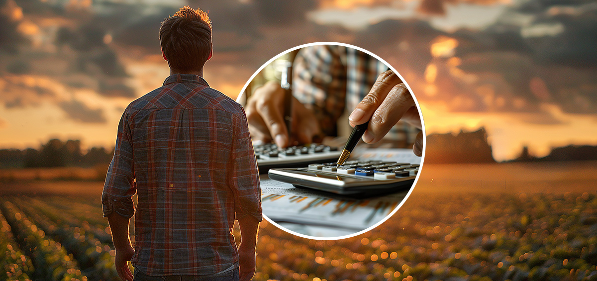
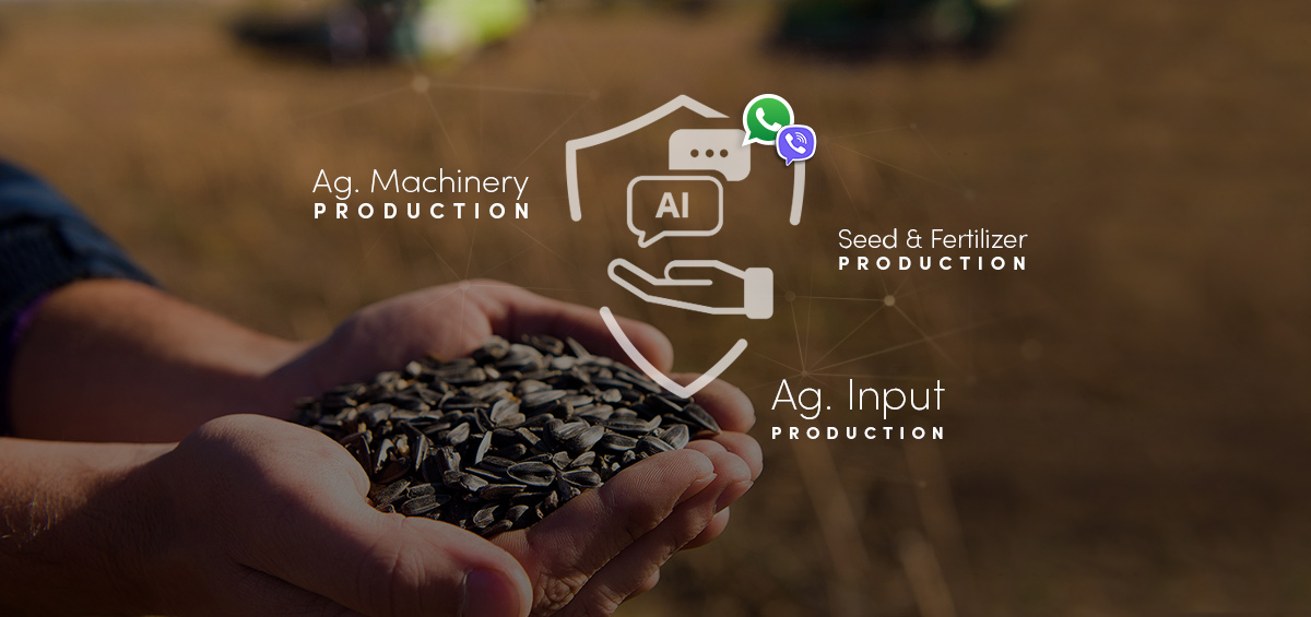
    On the other hand, no industry depends on nature more than agricultural production. Some of the risks that affect final yield are weather conditions, pests, availability of water, and soil quality. Faced with so many production risks, farmers and agricultural industries often seek for the optimal practices for risk management. Luckily, today there are various tools for proper risk management in agricultural production. The development of digital agriculture provided technologies such as farm management software, weather stations, different types of sensors, pest alarms, and satellite imagery. 

    How to Manage Risks in Agriculture by Using Satellilte Imagery? 

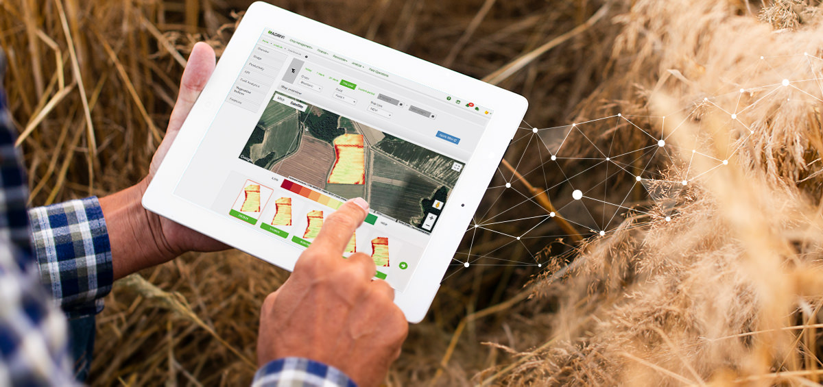
    Using satellite imagery can help farmers and agricultural industries collect valuable information from different types of vegetation indices that analyze overall crop health and biomass. Although there are multiple vegetation indices and each provides different information, they all work similarly and have the same purpose. More precisely, the common thing to all vegetation indices is that they all analyze crop conditions by using satellite maps instead of going directly into the field.  

    AGRIVI-Satelite Imagery


    Farmers who use satellite imagery in their crop management can detect early signs of disorders in crop growth. Monitoring the condition of plants during the vegetation by using satellite imagery provides the possibility of on-time reaction in case of infection, lack of nutrients, or any types of damage. Sometimes, satellite imagery reveals the occurrence of infestation that is not visible to the human eye. In other words, satellite imagery detects the infection even before the development of secondary symptoms.  

    Farmers who use satellite imagery in their crop management can detect early signs of disorders in crop growth.

    When farmers detect crop anomalies, they can investigate what is their cause and find a proper solution. That way, using satellite imagery can save farmers a lot of time. The main reason for that is the fact that farmers don’t have to perform scouting daily. They can perform the scouting only when the satellite imagery shows that something is happening with plants. More importantly, satellite imagery provides insight into the exact location on the field where some crop disorder is detected. That way, when farmers need to perform the scouting, they don’t have to scout the entire field, but only a specific part.   

    AGRIVI


    As a cherry on top, satellite imagery provides one more beneficial information. That refers to determining crop maturity. At first, determining crop maturity doesn’t seem like something related to risk management. However, harvesting at the optimal time is something that seriously impacts yield and crop quality. For that reason, successful farmers practice harvesting at optimal crop maturity and often use satellite imagery to analyze whether the crops ready for harvest or they still need to wait a little bit longer. 

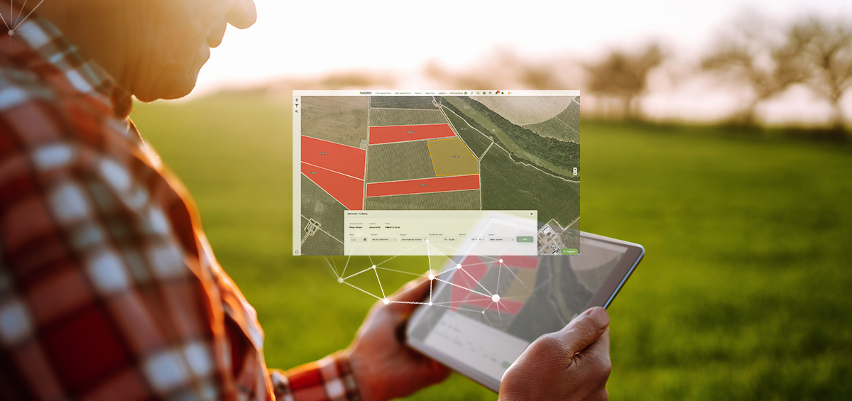
    The best results in risk management come from combining different technologies such as satellite imagery and farm management software. For example, AGRIVI farm management software enables monitoring real-time crop progress and risks per field based on satellite data. In AGRIVI, there is a possibility to analyze eight vegetation indices every 2-3 days through map and chart overview for every field marked on a satellite map. If you are interested to learn more about how AGRIVI can help you manage production risks, click here to find out more. 


    No tags.
    Ines Hajdu

    More posts by Ines Hajdu
    Recent posts

    Neuman Kaffee Gruppe

    Embracing Innovation in Coffee Farming with AGRIVI FMS
    Read more

    This Is How AI Advisors Can Support Food Brands Fix the Weakest Link in Their Supp...
    Read more

    AI Machinery

    AI-Powered Sales & Marketing: The Competitive Edge for Agricultural Machinery...
    Read more

    INDUSTRIES

    • Farms
    • Enterprise Farms
    • Cooperatives
    • Food & Beverages
    • Banks
    • Input Manufacturers
    • Agronomic Advisory
    • Retail
    • Public Sector

    PRODUCTS

    • AGRIVI 360 FMS
      • Farm Insights
      • Farm Enterprise
      • Farm Advisory
      • Agriculture Supply Chain
    • AGRIVI AI Engage
      • Inputs
      • Supply Chain
      • Local Advisor
      • Ed
    • AGRIVI Food
      • Traceability
    • AGRIVI Connect
      • Meteo
      • Soil

    COMPANY

    • About Us
    • Careers
    • Contact Us
    • Partner Program
    • Newsroom

    RESOURCES

    • ROI Calculator
    • Farm Digitalization Score
    • Blog
    • News
    • Case Studies
    • eBooks
    • Book a Meeting
    • Log In

    GET A DEMO

    LOG IN

    • Privacy Policy
    • Terms of Use
    ©2025 AGRIVI. All Rights Reserved
    • Products
      • AGRIVI 360 FMS
        • Farm Enterprise
        • Agriculture Supply Chain
        • Farm Insights
        • Farm Advisory
      • Agrivi Food
        • Traceability
      • Agrivi AI Engage
        • Inputs
        • Supply Chain
        • Local Advisor
        • Ed
    • Industries
      • Farms
      • Enterprise Farms
      • Cooperatives
      • Food & Beverages
      • Retail
      • Banks
      • Input Manufacturers
      • Agronomic Advisory
      • Public Sector
    • Resources
      • ROI Calculator
      • Farm Digitalization Score
      • Blog
      • News
      • Case Studies
      • eBooks
      • Webinars
    • Newsroom
    • BOOK A MEETING
    • English
      • Hrvatski
      • Français
      • Deutsch
      • Italiano
      • Polski
      • Română
      • Srpski
      • Español
    AGRIVI
    checked

    Thank you

    In a few minutes, please check your email inbox where we have sent you a copy of the ebook.

    *Please check your spam or promotions folder in case the email doesn’t arrive.

    checked

    Thank you

    In a few minutes, please check your email inbox where we have sent you a copy of the report.

    *Please check your spam or promotions folder in case the email doesn’t arrive.

    checked

    Thank you

    In a few minutes, please check your email inbox where we have sent a link to the webinar.

    *Please check your spam or promotions folder in case the email doesn’t arrive.

    checked

    Thank you

    In a few minutes, please check your email inbox for further instructions.

    *Please check your spam or promotions folder in case the email doesn’t arrive.

    We will get back to you as soon as possible.